The value no longer lies in the data itself, but in the ability to extract meaningful, spatially-aware insights at the pace of the market.
While data has become a vital business asset, the focus of collection and analysis has shifted. Navigating this shift requires a sophisticated machine learning strategy that transforms mountains of disparate information into a decisive tool for industry. Ultimately, the goal is to move from manual, time-consuming analysis to the automated, intelligent interpretation of spatial data.
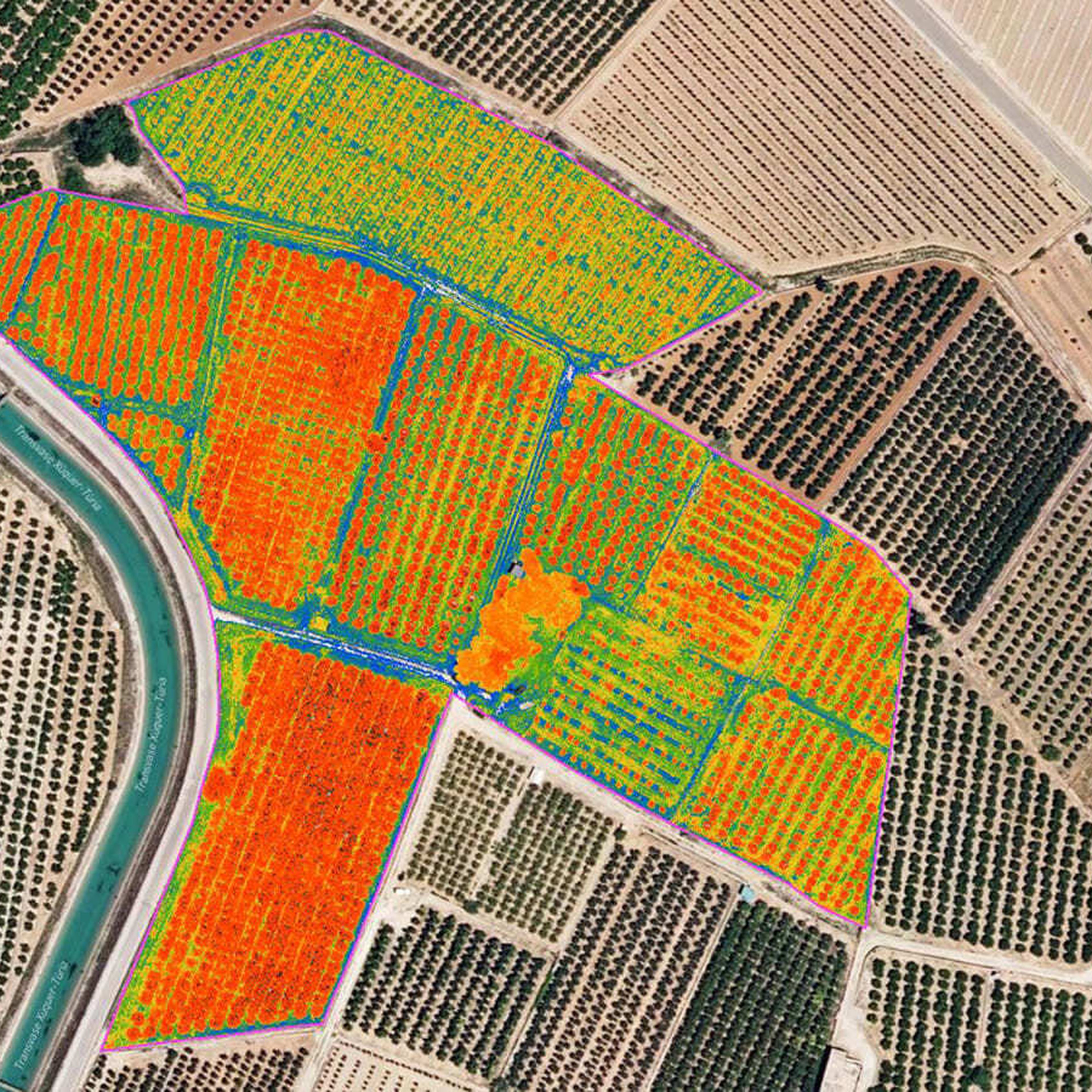
Leveraging agentic AI to transform spatial data into predictive tools
Amii has teamed up with BigGeo, a Calgary-based firm that helps companies manage and access the world’s spatial data. The 12-month project will leverage agentic AI to transform spatial data from simple maps into predictive tools. By using AI agents to navigate complex datasets and automate logical reasoning, the project aims to accelerate the path from raw data to high-precision insights, giving leaders and organizations the clarity to act with confidence.
This collaboration will leverage a $3M investment to accelerate AI adoption in the prairie provinces from PrairiesCan to support 30 small and medium-sized businesses based in Alberta, Saskatchewan and Manitoba over a three year period. The funding will empower Canadian companies to embark on or accelerate their AI adoption journeys, driving innovation and growth in the Prairie region.
“Our partnership with BigGeo extends Amii’s world-leading machine learning expertise into a rapidly evolving field. The true value of this work lies in its ability to democratize precision analytics for organizations of all sizes. By making these advanced tools accessible, we’re enabling a broader range of businesses to solve high-stakes challenges and make more informed, sustainable decisions.”
Marlene McNaughton
Chief Revenue Officer, Amii


“We are excited about the partnership with Amii to further develop state of the art spatial cloud technology,” says Brent Lane, BigGeo’s Chief Executive Officer. “The goal of a modern spatial data platform is not simply to answer known questions faster. It is to remove the practical limits that prevent new questions from forming at all. When spatial data can be accessed at any size, any slice, and any insight in seconds, teams no longer shape their thinking around what is feasible to query. In this state, insight is no longer constrained by tooling, performance, or cost. Questions emerge naturally from the data instead of being pre-defined by existing assumptions. This project with Amii will help make spatial data operational.”
Addressing the Gap in Geospatial Data
Current location-based data is often trapped in massive, disconnected silos, making it nearly impossible to identify complex patterns or predict future trends. While traditional mapping shows where an event occurs, industry needs tools that can autonomously interpret why it’s happening and what comes next. Without these capabilities, critical fields like logistics and emergency response are forced to rely on manual data processing—a bottleneck that is not only time-consuming but prone to costly oversight.
Building Autonomous Intelligence for Complex Analysis
The core of this project is the development of agentic workflows; systems where AI acts as an automated analyst to solve high-level business problems. Rather than just processing data, these AI agents tackle complex business questions and solve them by:
Deconstructing Goals: Breaking a broad objective into a series of smaller, logical sub-questions.
Iterative Analysis: Leveraging Large Language Models (LLMs) to process text and Vision-Language Models (VLMs) to analyze spatial datasets, with each answer informing the next step in the sequence.
Evidence-Based Results: Converting raw data into a transparent, step-by-step roadmap for decision-making.
This 12-month initiative includes a dedicated Machine Learning (ML) Resident at Amii, who will work under the supervision of a Senior Amii Scientist and directly with the BigGeo team. Recruitment for the ML Resident position is currently underway.
About BigGeo
BigGeo is the Spatial Cloud©. Based in Calgary, Alberta, BigGeo helps companies manage and access the world’s spatial data - any size, any slice, any insight, delivered in seconds. The Spatial Cloud© is a cloud-native control plane for managing, accessing, computing, and governing spatial data, so organizations, systems, and AI can produce real-world answers in seconds. www.biggeo.com